
 |
2nd Light Forums |
 |
 |  |


|
Topic Title: AL95 Topic Summary: Created On: 10/07/2025 05:00 AM |
Linear : Threading : Single : Branch |
 Topic Tools Topic Tools
|

 10/07/2025 05:00 AM 10/07/2025 05:00 AM


|
|
|
Fish Spinner

------------------------- Dora Hates You Edited: 10/07/2025 at 05:01 AM by dingpatch |
|
|
|
|
|
10/07/2025 06:39 AM
|
|
|
The unnamed Nor'easter looks to be a problem for the mid to north Atlantic states.
------------------------- I was right. |
|
|
|
|
|
10/07/2025 09:26 AM
|
|
|
Tropical Storm Jerry Discussion Number 1
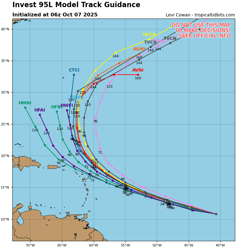
NWS National Hurricane Center Miami FL AL102025 1100 AM AST Tue Oct 07 2025 The system we have been monitoring (Invest 95L) over the tropical central Atlantic has developed sufficiently organized thunderstorm activity and a low-level center to be considered a tropical cyclone. This system is far from land, roughly 1000 miles east of the Windward Islands. An ASCAT pass from around 12Z showed peak winds between 35 and 40 kt, and based on that data, the initial intensity is set at 40 kt, making the system Tropical Storm Jerry. Convective bands are increasing around the center, and the strongest winds are on the storm's east side. Jerry is moving quickly westward at about 21 kt on the south-southwest side of a strong subtropical ridge. A turn to the west-northwest with a gradual reduction in forward speed is expected during the next couple of days as Jerry nears the southwestern edge of the ridge. This should bring the core near or to the north of the northern Leeward Islands late Thursday and Friday. Around that time, the models show a deep-layer trough amplifying over the western Atlantic, which should erode the ridge. In response to the pattern change, Jerry is forecast to turn northward over the west-central Atlantic this weekend. The NHC track forecast is a little faster than the model consensus through 72 hours and in best agreement with HCCA and the Google Deep Mind ensemble mean, which have been performing quite well so far this year. Interests in the northern Leeward Islands should monitor Jerry as there is uncertainty on how close the core of the system will get to the islands later this week. The environmental conditions appear favorable for the system to strengthen during the next couple of days with the upper-level winds appearing light, waters quite warm, and abundant surrounding moisture. The NHC intensity forecast shows the system becoming a hurricane in a day or two before its closest approach to the northern Leeward Islands. After the system passes by the islands, the models diverge significantly with some solutions showing Jerry moving into stronger shear while others keep it in a favorable upper-level wind pattern. For now, the official forecast shows no change in strength from days 3 to 5, but confidence is low for that portion of the intensity forecast. Key Messages: 1. Jerry is forecast to pass near or just north of the northern Leeward Islands Thursday night and Friday. Interests there should monitor the progress of the storm as there is a risk of wind, surf, and rainfall impacts. Watches may be required for a portion of that area later today or tonight. FORECAST POSITIONS AND MAX WINDS INIT 07/1500Z 11.5N 44.6W 40 KT 45 MPH 12H 08/0000Z 12.3N 47.2W 45 KT 50 MPH 24H 08/1200Z 13.5N 51.1W 55 KT 65 MPH 36H 09/0000Z 14.9N 54.6W 65 KT 75 MPH 48H 09/1200Z 16.5N 57.6W 75 KT 85 MPH 60H 10/0000Z 18.1N 60.0W 80 KT 90 MPH 72H 10/1200Z 19.8N 61.9W 80 KT 90 MPH 96H 11/1200Z 24.4N 63.4W 80 KT 90 MPH 120H 12/1200Z 29.4N 62.9W 80 KT 90 MPH $$ Forecaster Cangialosi |
|
|
|
|
|
10/07/2025 10:51 AM
|
|
|
Cold front in the forecast!
Saturday-Monday... Weak low pressure near the Bahamas is forecast to further organize as it lifts north and eastward across the Atlantic waters. This feature will pull a cold front across central Florida into Saturday, bring a taste of fall for the weekend. Scattered showers linger on Saturday depending on the time of the frontal passage. Otherwise, a drier post-frontal airmass will keep rain chances low into early next week. High temperatures hold below normal each day, mostly in the low 80s. Morning temperatures in the upper 60s to low 70s on Saturday are forecast to widely spread the 60s Sunday and Monday mornings. |
|
|
|
|
FuseTalk Basic Edition - © 1999-2025 FuseTalk Inc. All rights reserved.