
 |
2nd Light Forums |
 |
 |  |


|
Topic Title: Is it time to start the Hype?? Topic Summary: Created On: 07/22/2019 11:33 AM |
Linear : Threading : Single : Branch |
 Topic Tools Topic Tools
|

 07/22/2019 11:33 AM 07/22/2019 11:33 AM


|
|
 For the North Atlantic...Caribbean Sea and the Gulf of Mexico:
1. Showers and thunderstorms have increased in association with an
area of low pressure located near Andros Island in the Bahamas.
While environmental conditions are only marginally conducive for
development, only a slight increase in the organization of this
system could result in the formation of a tropical depression later
today or tonight.
For the North Atlantic...Caribbean Sea and the Gulf of Mexico:
1. Showers and thunderstorms have increased in association with an
area of low pressure located near Andros Island in the Bahamas.
While environmental conditions are only marginally conducive for
development, only a slight increase in the organization of this
system could result in the formation of a tropical depression later
today or tonight.
|
|
|
|
|
|
07/22/2019 11:35 AM
|
|

Edited: 07/22/2019 at 11:36 AM by Waverider969 |
|
|
|
|
|
07/22/2019 11:36 AM
|
|
|
short answer is no. But to be clear, its not a no as in no, Its a no as in not yet.
------------------------- "One of the reasons why propaganda tries to get you to hate government is because it's the one existing institution in which people can participate to some extent and constrain tyrannical unaccountable power." Noam Chomsky. |
|
|
|
|
|
07/22/2019 01:58 PM
|
|
|
Tropical Depression Three Discussion Number 1
NWS National Hurricane Center Miami FL AL032019 500 PM EDT Mon Jul 22 2019 Deep convection has increased in association with the small low pressure area we have been monitoring near the Bahamas. Animation of visible satellite images and scatterometer data indicate that a closed low-level circulation formed today, and therefore advisories are being initiated on the system. Conventional surface observations along with the scatterometer measurements indicate that the maximum sustained winds in the cyclone are near 25 kt. The system is in a marginally favorable environment for strengthening, as a special 1800 UTC sounding taken by the National Weather Service Forecast Office here in Miami showed a layer of dry air near the 700 mb level. The global models do not intensify the system, and only a slight increase in strength appears likely. In 36 to 48 hours, the models indicate that this system will be absorbed by a frontal trough near the U.S. east coast. The initial motion estimate is northwestward or 305/11 kt. Over the next day or so, the tropical cyclone should move around the western periphery of a mid-level subtropical ridge, with the center of the depression expected to remain offshore of the Florida east coast and the southeastern United States until dissipation. The official track forecast follows a small consensus of the only models that were able to follow the center of the depression in the predicted fields. FORECAST POSITIONS AND MAX WINDS INIT 22/2100Z 25.6N 78.6W 25 KT 30 MPH 12H 23/0600Z 27.2N 79.7W 30 KT 35 MPH 24H 23/1800Z 30.1N 79.6W 30 KT 35 MPH 36H 24/0600Z 33.7N 77.8W 25 KT 30 MPH 48H 24/1800Z...DISSIPATED |
|
|
|
|
|
07/22/2019 02:41 PM
|
|
|
Look at the wind picking up on the 120......
------------------------- So if you are a surfer I wish you the prosperity that allows you more time to pursue the salt water dream, and the true happiness that comes from warm water, clean waves and the companionship of your fellow surfers. If you are an internet troll just spewing bs then f off. |
|
|
|
|
|
07/24/2019 05:16 AM
|
|
|
|
|
|
|
|
07/24/2019 07:22 AM
|
|
|
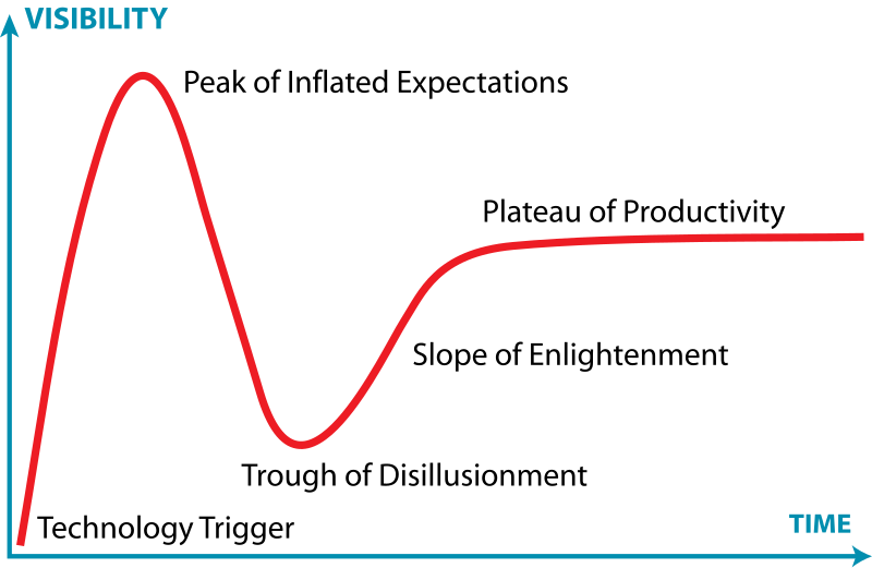
In the trough and on the slippery slope...
------------------------- Replace turf grass with native plants that don't need irrigation and synthetic fertilizers or chemicals that can go into our waterways and ocean |
|
|
|
|
|
07/24/2019 08:04 AM
|
|
|
It was something nice to think about.
------------------------- "One of the reasons why propaganda tries to get you to hate government is because it's the one existing institution in which people can participate to some extent and constrain tyrannical unaccountable power." Noam Chomsky. |
|
|
|
|
|
FORUMS
:
Surfing
:
Is it time to start the Hype??
|
Topic Tools |
FuseTalk Basic Edition - © 1999-2024 FuseTalk Inc. All rights reserved.